
France, the largest country in Western Europe, spans approximately 643,801 square kilometers (248,573 square miles) and serves as a natural bridge between northern and southern Europe. Its hexagonal shape, often referred to as “l’Hexagone,” encompasses a rich variety of terrains, from flat plains to towering mountains, and boasts extensive coastlines along the Atlantic Ocean, English Channel, and Mediterranean Sea.
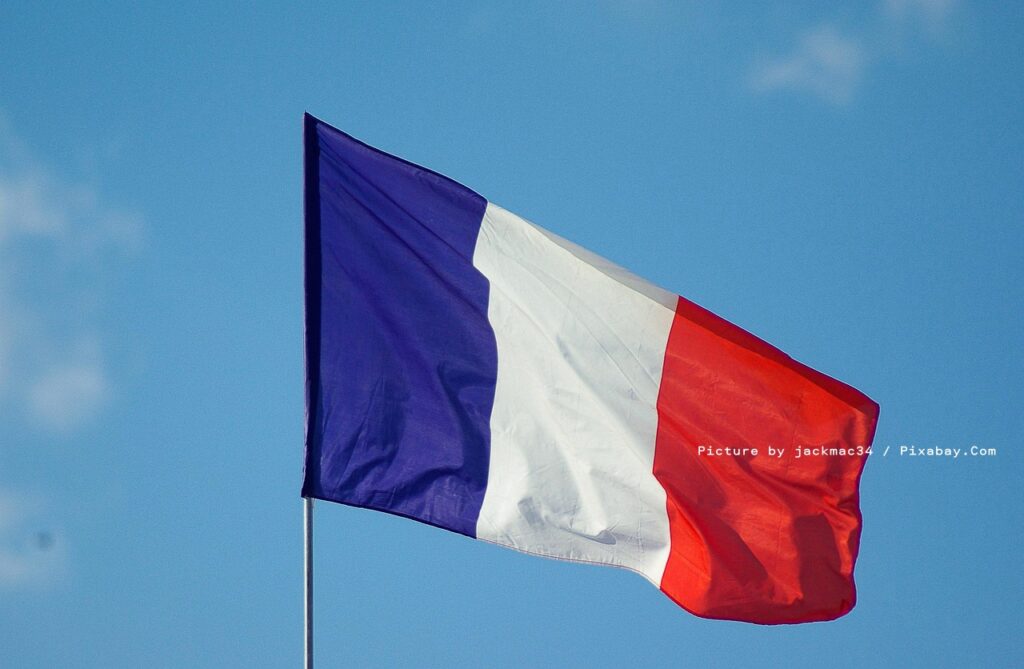
The image above showcases a vibrant French flag waving gracefully against a backdrop of a clear blue sky dotted with a few light, fluffy clouds. The flag features three vertical stripes—deep blue on the left, crisp white in the center, and bright red on the right—billowing dynamically in the breeze from a slender pole, evoking a sense of motion and patriotism under the open heavens. Picture by jackmac34 / Pixabay.Com.
Physical features and terrain
The terrain of France is predominantly flat plains or gently rolling hills in the north and west, covering about two-thirds of the country, while the south and east are more mountainous. The northern lowlands, such as the Paris Basin, are fertile and ideal for agriculture, supporting vast farmlands and forests that cover over 25% of the territory. In contrast, the southern borders feature the rugged Pyrenees Mountains, which form a natural barrier with Spain, and the eastern Alps, home to Mont Blanc—the highest peak in Western Europe at 4,808 meters (15,774 feet).
The Massif Central, a vast plateau in the heart of the country, includes extinct volcanoes and deep valleys, adding to France’s geological diversity. Major rivers like the Seine, Loire, and Rhône carve through the landscape, providing vital waterways for transportation and irrigation.
The Seine River, France’s second-longest at 780 kilometers (485 miles), rises at 471 meters (1,545 feet) above sea level northwest of Dijon and flows northwesterly through Paris before emptying into the English Channel at Le Havre. It drains an area of about 78,700 square kilometers (30,400 square miles) and has been crucial to Paris’s development, with its banks lined by historic landmarks and serving as a key navigation route.
The Loire River, the longest in France at 1,006 kilometers (625 miles), originates in the Massif Central at Mont Gerbier de Jonc, 1,350 meters (4,430 feet) high, and flows north through Nevers and Orléans before turning west to the Atlantic Ocean at Saint-Nazaire. It drains 117,054 square kilometers (45,195 square miles) and is renowned for its scenic valley dotted with châteaux, supporting agriculture and tourism.
The Rhône River, spanning 813 kilometers (505 miles) total with 545 kilometers (338 miles) in France, rises in the Swiss Alps and enters France near Geneva, flowing south through Lyon to the Mediterranean Sea. Known for its high volume—averaging 1,720 cubic meters per second—it powers hydroelectric plants and irrigates the fertile Rhône Valley, famous for vineyards.
France’s climate varies regionally: temperate in the north with mild winters and cool summers, Mediterranean in the south with hot, dry summers, and alpine in the mountains with heavy snowfall.
Borders, coastlines, and regions
France shares land borders with eight countries: Belgium, Luxembourg, Germany, Switzerland, Italy, Monaco, Spain, and Andorra. Its total coastline stretches about 5,500 kilometers (3,418 miles), offering diverse coastal environments from the rocky cliffs of Brittany in the northwest to the sandy beaches of the Côte d’Azur in the southeast.
Administratively, metropolitan France is divided into 13 regions, each with unique geographical characteristics. These regions, formed largely through mergers in 2016 to streamline administration, vary in size, population, and terrain. Here’s a brief overview of each:
- Auvergne-Rhône-Alpes: Located in the southeast, this mountainous region features the French Alps, volcanic plateaus in the Massif Central, and the Rhône River valley; it’s the most elevated region with 80% of its territory above 400 meters (1,312 feet).
- Bourgogne-Franche-Comté: In the east, known for rolling hills, vineyards in Burgundy, and the Jura Mountains along the Swiss border, offering a mix of plains and forested highlands.
- Bretagne (Brittany): A northwestern peninsula with rugged coastlines, granite cliffs, and inland forests; its Celtic heritage is tied to its maritime geography.
- Centre-Val de Loire: Central region dominated by the Loire Valley’s flat plains, châteaux-studded landscapes, and fertile farmlands; it’s one of the flattest regions with only 4% above 400 meters (1,312 feet).
- Corse (Corsica): A Mediterranean island with dramatic mountains, dense forests, and scenic coastlines; it’s the smallest and least densely populated metropolitan region.
- Grand Est: Northeastern region encompassing the Vosges Mountains, Champagne vineyards, and the Rhine River plain; it borders Germany, Belgium, Luxembourg, and Switzerland.
- Hauts-de-France: Northern flatlands with chalk cliffs along the English Channel, industrial plains, and agricultural fields; it includes the Pas-de-Calais strait.
- Île-de-France: Centered around Paris, this densely urban region features the Paris Basin’s gentle hills and the Seine River; it’s the most populous and urbanized.
- Normandie (Normandy): Northwestern coastal region with rolling hills, apple orchards, and iconic cliffs like those at Étretat; known for its D-Day beaches.
- Nouvelle-Aquitaine: Southwestern expanse including the Pyrenees foothills, Atlantic beaches, and the vast Landes forest; it’s the largest region by area.
- Occitanie: Southern region with Mediterranean coasts, the Pyrenees Mountains, and the Canal du Midi; it blends coastal plains and high plateaus.
- Pays de la Loire: Western region along the Loire River with estuaries, marshes, and bocage countryside; it features the Atlantic coastline.
- Provence-Alpes-Côte d’Azur: Southeastern Mediterranean haven with the Alps, lavender fields in Provence, and the dramatic Gorges du Verdon canyon; known for its Riviera coastline.
Beyond metropolitan France, the country includes several overseas territories that significantly expand its global footprint, extending its geographical reach to 12 time zones and making it a transcontinental nation. Among these, French Guiana and Réunion stand out for their unique geographies.
French Guiana, an overseas region located on the northeastern coast of South America, covers approximately 83,534 square kilometers (32,253 square miles). It borders Brazil to the south and east, Suriname to the west, and the Atlantic Ocean to the northeast. Geologically part of the Guiana Highlands, the territory features low-lying plains in the north, eroded by rivers like the Maroni and Oyapock, with small mountains in the south reaching up to 700 meters (2,297 feet) in the Tumuc-Humac range. Dense tropical rainforests cover more than 90% of the land, supporting rich biodiversity, while the coastal areas include swamps and savannas. The capital, Cayenne, lies on a swampy coastal plain, and the region is known for its equatorial climate with high humidity and rainfall. French Guiana is also home to the European Space Agency’s launch site at Kourou, leveraging its equatorial position for satellite deployments.
Réunion, an overseas department and region in the Indian Ocean, spans about 2,512 square kilometers (970 square miles) and is situated approximately 679 kilometers (422 miles) east of Madagascar and 175 kilometers (109 miles) southwest of Mauritius. Of volcanic origin, the island is elliptical in shape, measuring 63 kilometers (39 miles) long and 45 kilometers (28 miles) wide, with a coastline of 207 kilometers (129 miles). Its rugged terrain includes the dormant Piton des Neiges volcano, the highest peak at 3,070.5 meters (10,074 feet), and the highly active Piton de la Fournaise in the east. Deeply dissected by rivers, the island features dramatic cirques (natural amphitheaters) and a mix of cliffs, rocky beaches, and about 35 kilometers (22 miles) of sandy shores, primarily on the west coast. With a population of around 910,985 as of January 2026, the capital Saint-Denis is on the northern coast, and the island’s tropical climate varies from coastal humidity to cooler highlands.
Languages spoken in France
While French is the official language and spoken by nearly the entire population, France’s geography has fostered a mosaic of regional languages, reflecting its historical and cultural regions. As a Gallo-Romance language, French dominates daily life, education, and government, but regional tongues persist, especially in border areas and rural communities.
Regional languages include Alsatian (an Alemannic dialect spoken in the east near Germany by about 1.44% of the population), Breton (a Celtic language in Brittany, used by 0.61%), and Occitan (spoken in the south by 1.33%). Other notable ones are Basque in the southwest Pyrenees (a language isolate spoken by around 0.1%), Corsican on the island of Corsica, and Catalan in the Pyrenees-Orientales region (by about 0.4%). The langues d’oïl (northern dialects like Picard and Norman) and langue d’oc (southern Occitan variants) divide the country linguistically along a line from Bordeaux to Grenoble.
Immigrant languages add further diversity: Arabic, spoken by about 3.1% due to North African communities; Portuguese (1.8%); and Italian (2.5%). Overseas territories feature Creole languages, such as in Réunion or the French Caribbean. Despite efforts to preserve them, many regional languages are endangered, with French fluency at 96% nationwide. In 2008, these languages were constitutionally recognized, though none hold official status beyond French.
France’s geography, from alpine peaks to Mediterranean shores, not only shapes its stunning visuals but also its linguistic heritage, making it a nation of contrasts and connections.